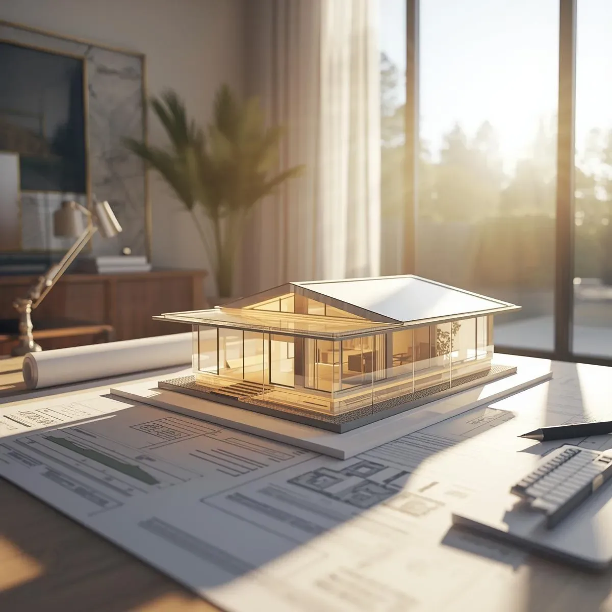
The most expensive mistakes in home construction typically come from not fully understanding the site before designing. Common discoveries after the fact: the master bedroom faces west and receives direct afternoon sun, or a large neighboring tree blocks natural light to the living room all day. These problems are clearly visible from a 3D Site Analysis before any design begins.
Five 3D Site Analysis Methods
- Topographic Modeling: Simulating the Real Terrain Survey data is used to build a 3D Topography Model showing: - High and low points on the land (drainage paths, flood pooling risk) - Natural water flow direction - Optimal positions for the building, driveway, and garden - Volume of cut or fill required for leveling (reduces Earthwork costs) 2. Solar Path Analysis: Mapping the Sun Throughout the Year For Bangkok plots (13.75°N), a Solar Path model shows the sun angle every hour of every month, enabling decisions about: - North-facing: ideal for bedrooms (consistent diffuse light, no direct sun) - South-facing: ideal for living and entertaining spaces (good natural light all day) - East-facing: ideal for kitchen and dining (pleasant morning light) - West-facing: avoid large windows (intense afternoon sun in tropical climate) 3. Neighboring Building Context: Understanding the Surrounding Built Environment Building 3D models of adjacent structures reveals: - Shadows cast onto the plot throughout the day and year - Privacy Sightlines: which neighboring angles have views into the plot? - Noise sources by direction (roads, markets, construction sites) 4. Wind Flow Analysis: Natural Ventilation Potential Bangkok experiences predominantly southwest monsoon winds from May through October. Basic CFD (Computational Fluid Dynamics) modeling identifies: - Optimal Opening positions for Cross Ventilation - Dead Zones where wind does not reach (unsuitable for outdoor seating areas) - Tree placement to guide wind into the home 5. Bangkok Flood Risk Assessment: Site-Specific Flooding Evaluation Combining DEM (Digital Elevation Model) data and Bangkok Metropolitan Administration flood mapping with the Topographic Model establishes the appropriate first-floor elevation — reducing flood risk in vulnerable areas.
Financial Benefits
3D Site Analysis costs THB 20,000–50,000 for a residential project, but prevents far more expensive problems: - Changing window orientation after construction: THB 50,000–200,000 - Adding thermal insulation systems due to incorrect orientation design: THB 30,000–100,000 - Water pooling problems from failing to analyze drainage first: THB 20,000–500,000+ depending on severity